

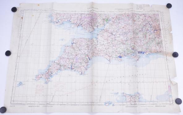
British WW2 RAF Map 'Croydon Airport'
In a very nice condition an real used map of the British RAF (Royal Air Force).
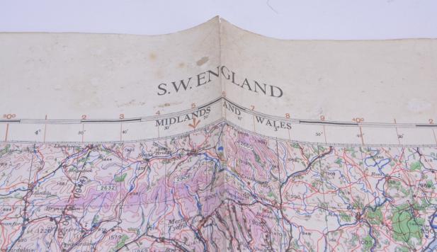
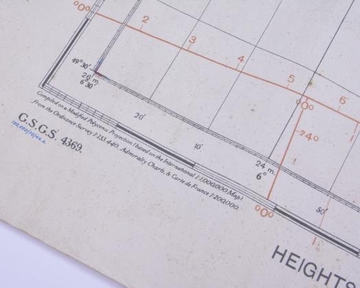
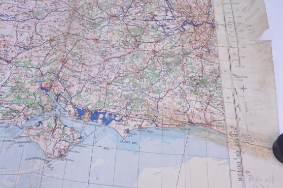
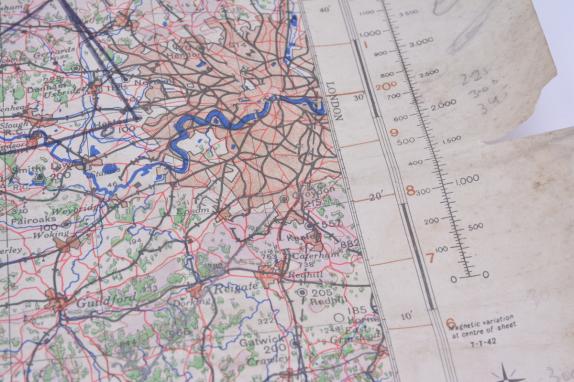
The map is dated October 1944 and comes in a size of approx 100x80cm.
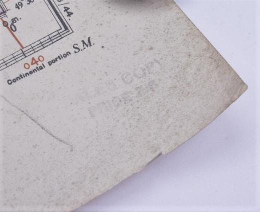
The map has a lot of pencil writing and drawing on it and traces of use.
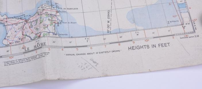
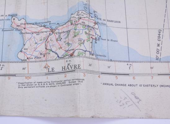
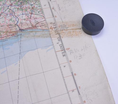
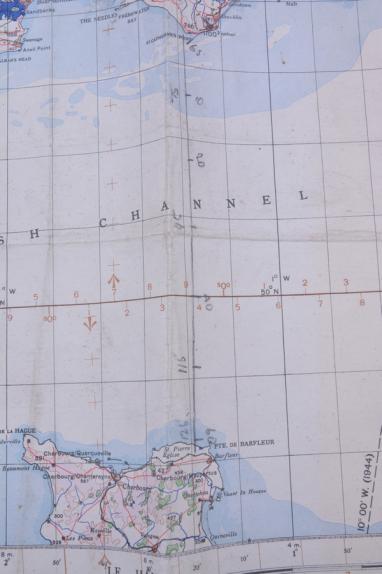
Nicely to see is the route that is marked from Croydon Airport to Cherbourg France.
Croydon Airport is very well known of the Battle of Britain were it was used as Sector B of the Fighter Command (RAF Croydon) 11th RAF Group.
On the 1st of September 1944 it became the base of the 147th Squadron RAF Transport Command.
A very nice historical WW2 aviation map!
Code: 58396
95.00 EUR