


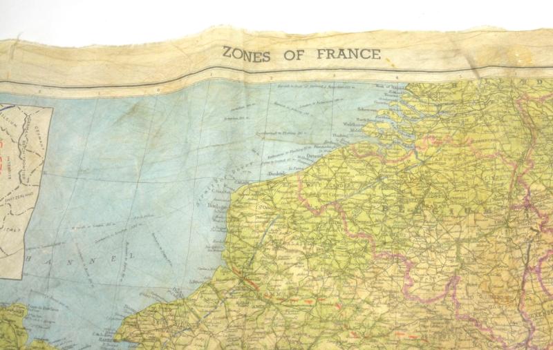
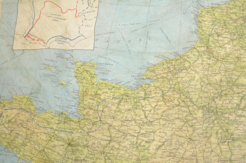
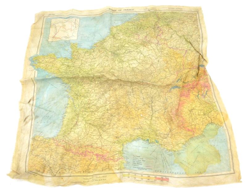
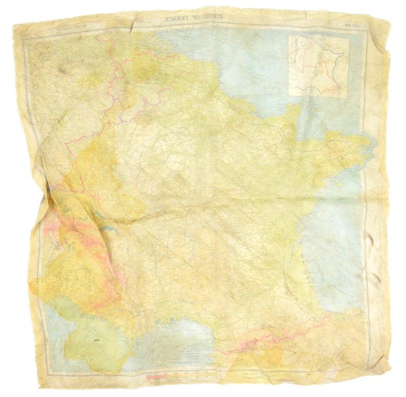
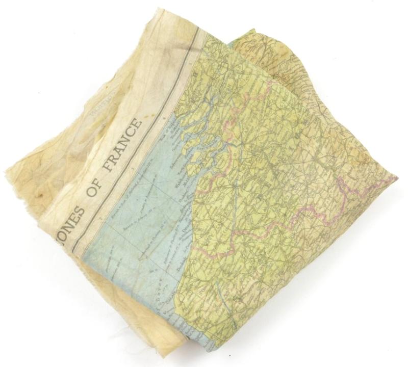
US WW2 Paratrooper Silk Escape map 'Zones of France' D-Day
In a very good condition and extreme rare to find the map that was used by the US/British Paratroopers in Normandy 'Zones of France'.
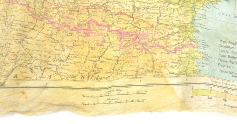
The map has a size of 50x50cm and comes with the scale 1 : 200 000.
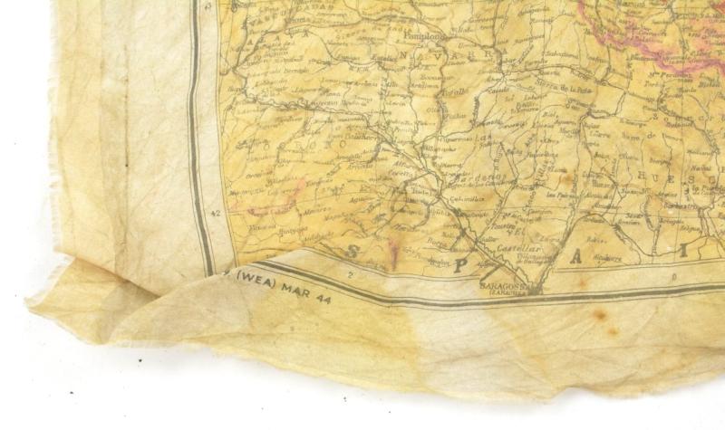
It's nicely dated March 1944.
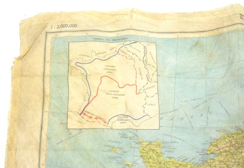
In February 1944, in preparation for D-Day, the Intelligence School No. 9 (IS9) responsible for Western European Area (WEA) produced a second edition of the map of France colored rayon printed on one side to the 1:2.000.000 scale (1 cm to 20 km). This map, called Zones of France in reference to the division of France after the Armistice, is mainly distributed to the agents of SOE, Jedburgh teams, to Operation Groups of OSS and American and British paratroopers involved behind enemy lines during the liberation of the territory.
Code: 67483