


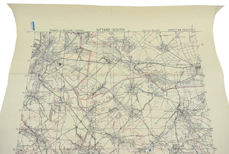
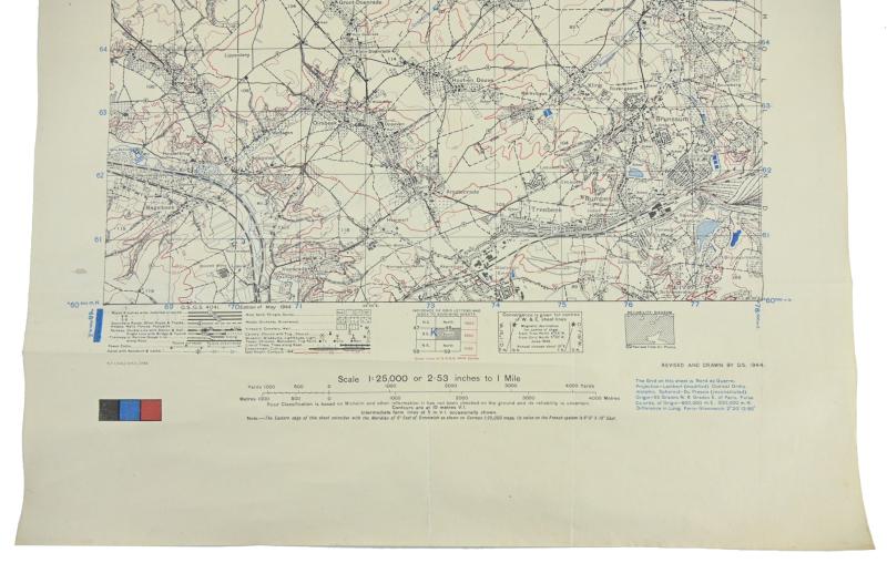
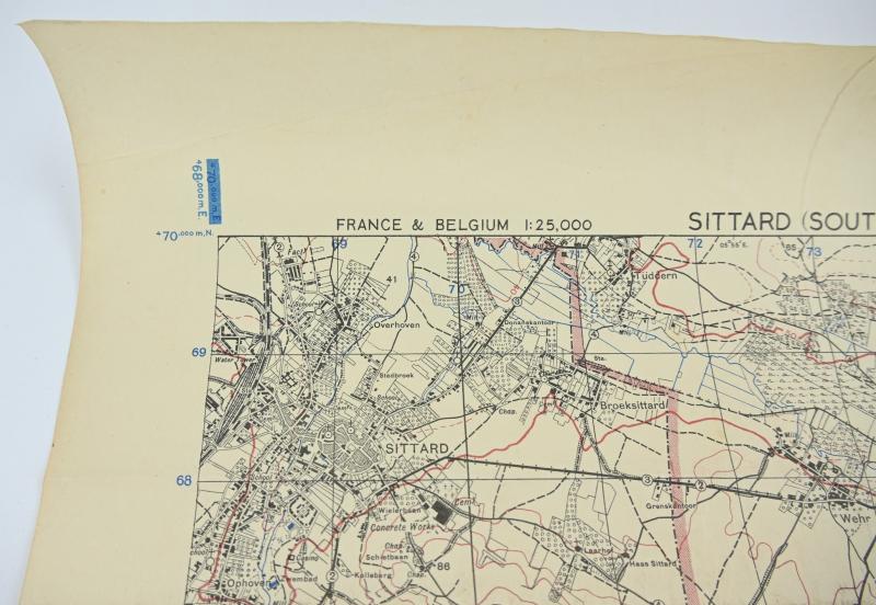
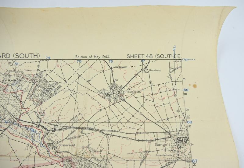
US WW2 Mapcard of Sittard Holland 1944 Operation Blackcock
In a very good condition and hard to find a US WW2 Mapcard of Sittard (South) Holland/Operation Blackcock.
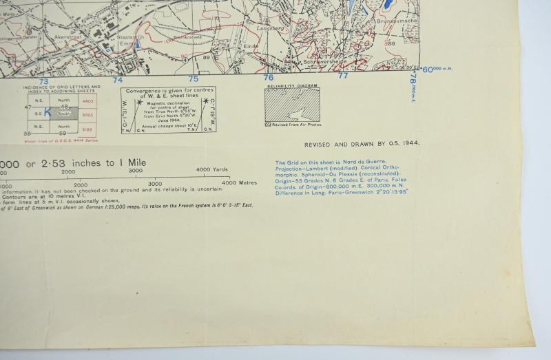
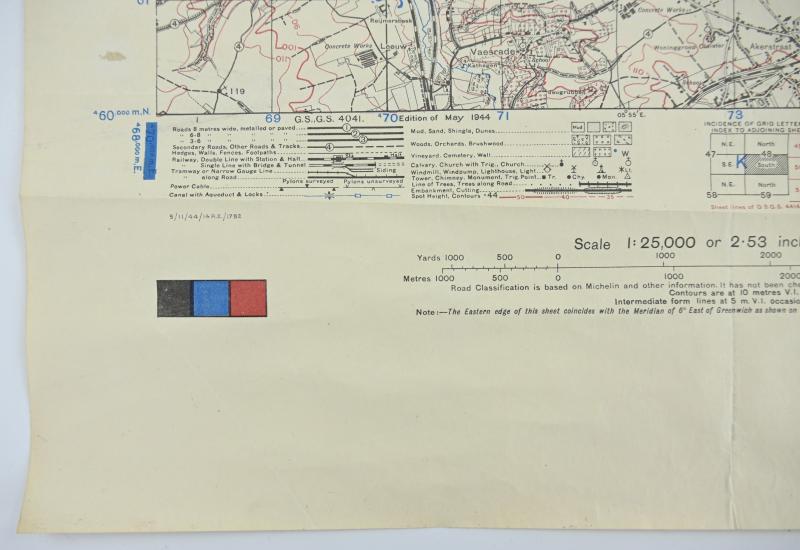
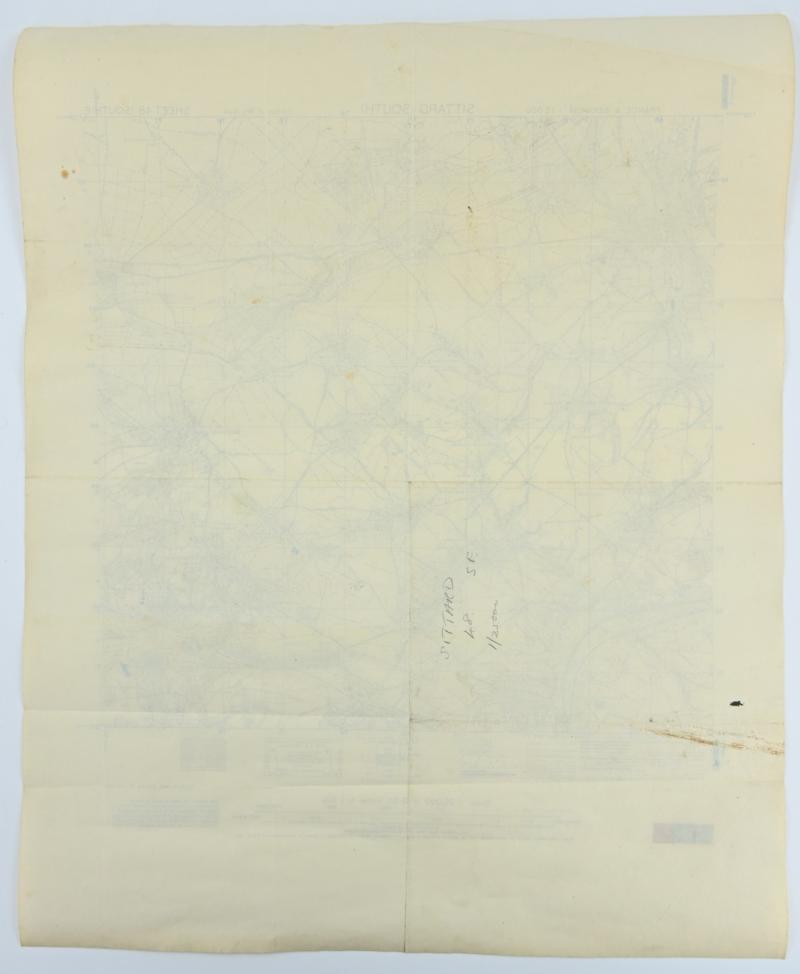
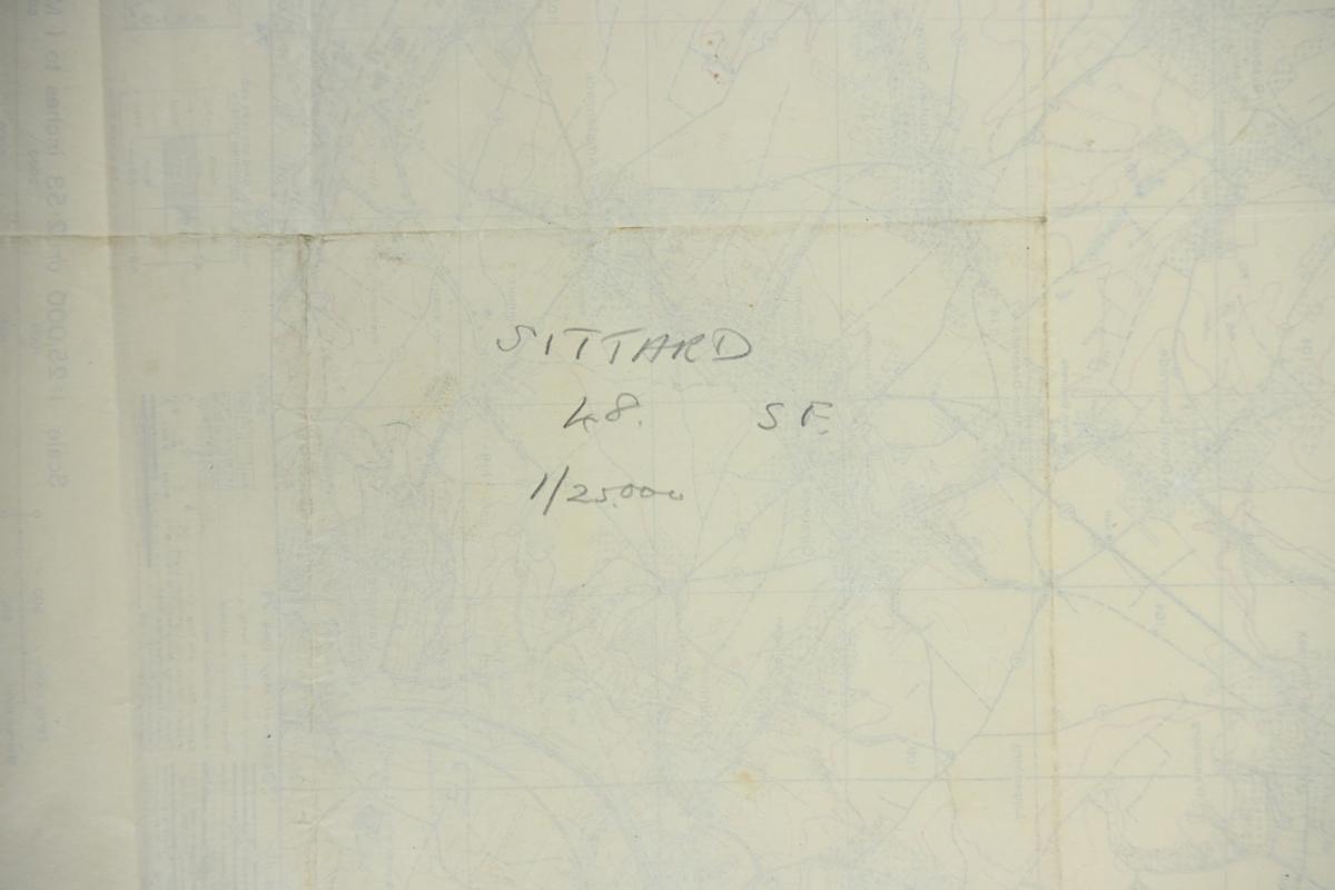
The mapcard comes in a scale of 1: 25 000 and has a size of approx 50x60cm and is dated 11 May 1944 (No Revision).
A very hard to find mapcard as used by the troops during Operation Blackcock.
Operation Blackcock was an operation to clear German troops from the Roer Triangle, formed by the towns of Roermond and Sittard in the Netherlands and Heinsberg in Germany during the fighting on the Western Front in the Second World War. It was conducted by the British Second Army between 13 and 26 January 1945. The objective was to drive the German 15th Army back across the rivers Roer and Wurm and move the frontline further into Germany. The operation was carried out by Lieutenant-General Neil Ritchie's XII Corps by three divisions: the 7th Armoured Division (Major-General Lewis Lyne), the 43rd (Wessex) Infantry Division (Major-General Ivor Thomas) and the 52nd (Lowland) Infantry Division (Major-General Edmund Hakewill-Smith). The operation, named after the Scottish male black grouse, is relatively unknown.
Code: 76631