


German WH /Allied RoadMap Newcastle /Frankfurt
In a very good condition a stunning item.
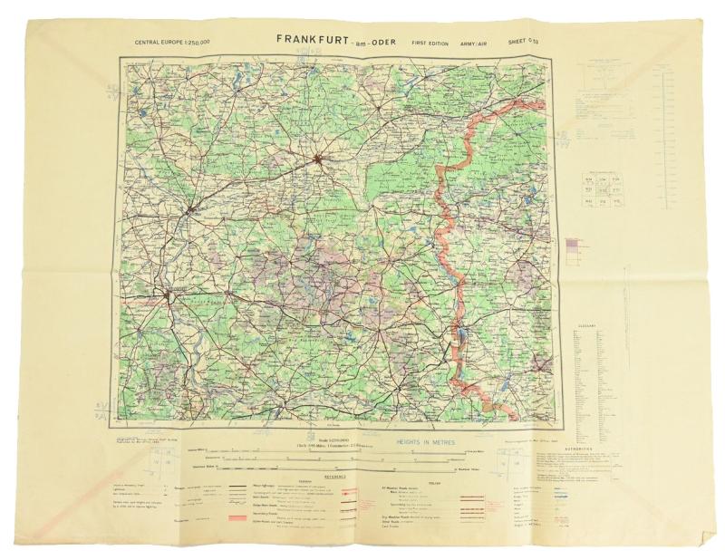
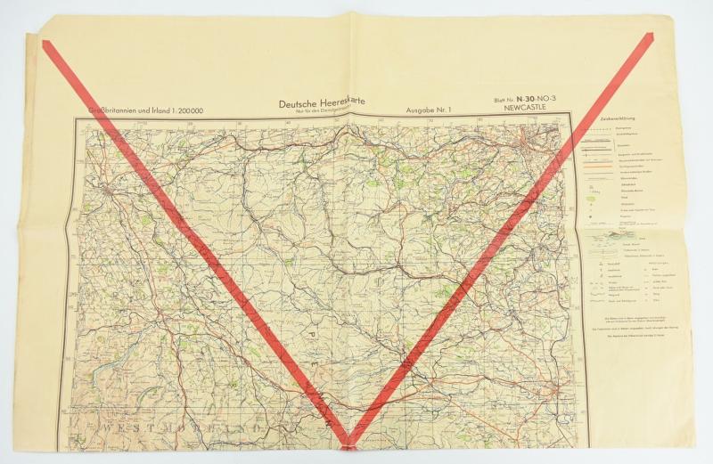
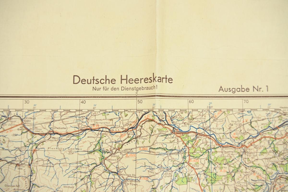
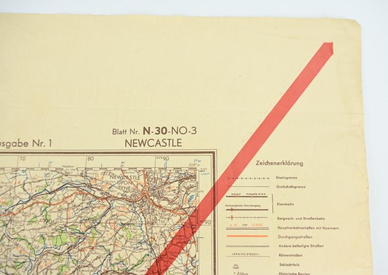
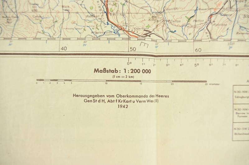
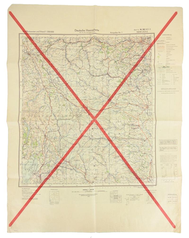
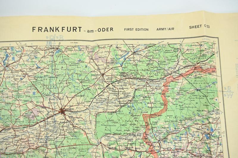
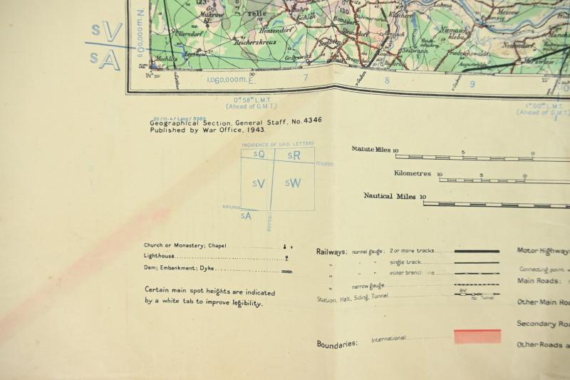
The map is made by the German Wehrmacht in 1942 by the 'Generalstab des heeres,Abteilung fur Kriegskarten- und Vermessungswesen'.
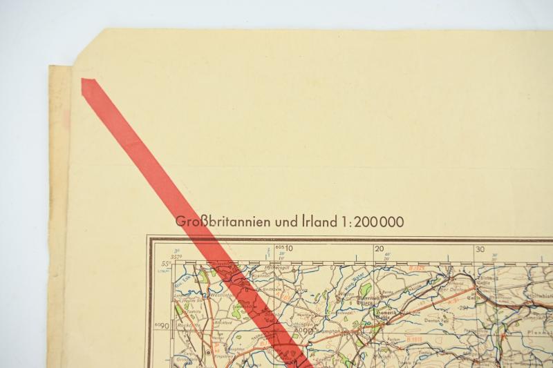
The mapcard contains the Newcastle England region.
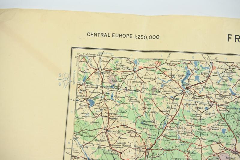
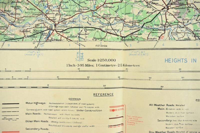
The card comes in a scale of 1: 200 000 and has a size of 60x80cm.
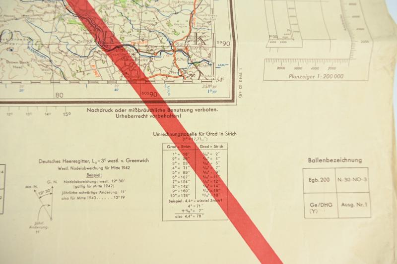
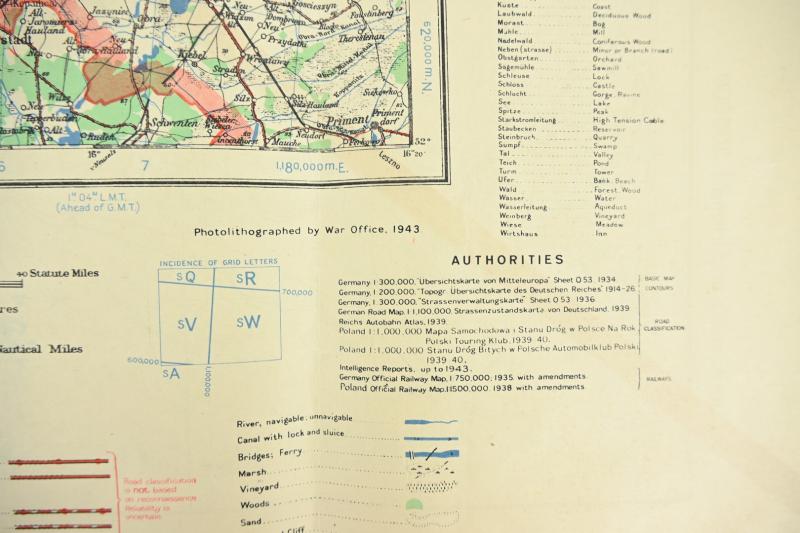
The mapcard is cancelled and during the war re-used by the British War Office in 1943.
The british army printed the reverse side of the German map with the region of Frankfurt am Oder.
A very stunning multiple used mapcard!
Code: 81459
85.00 EUR