

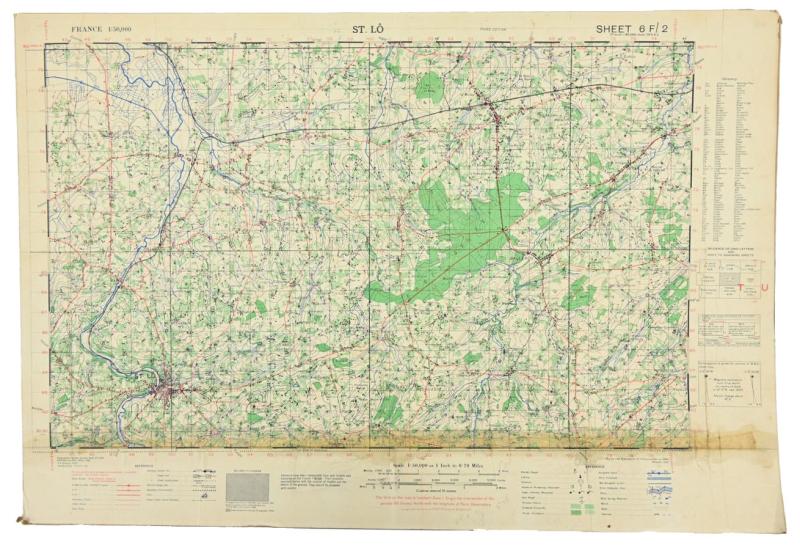
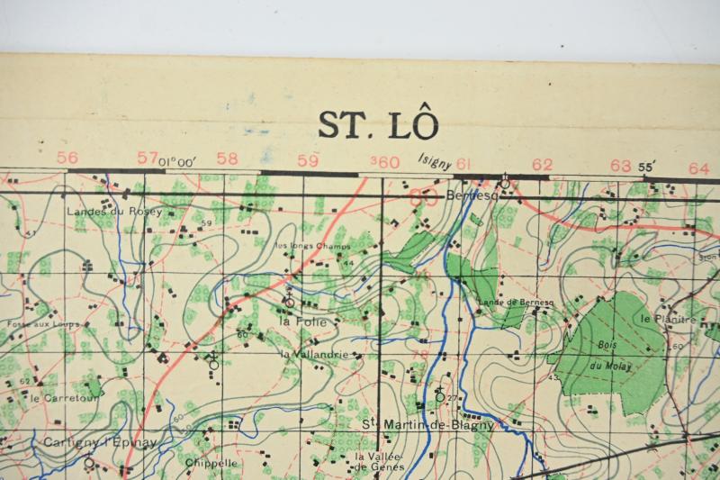
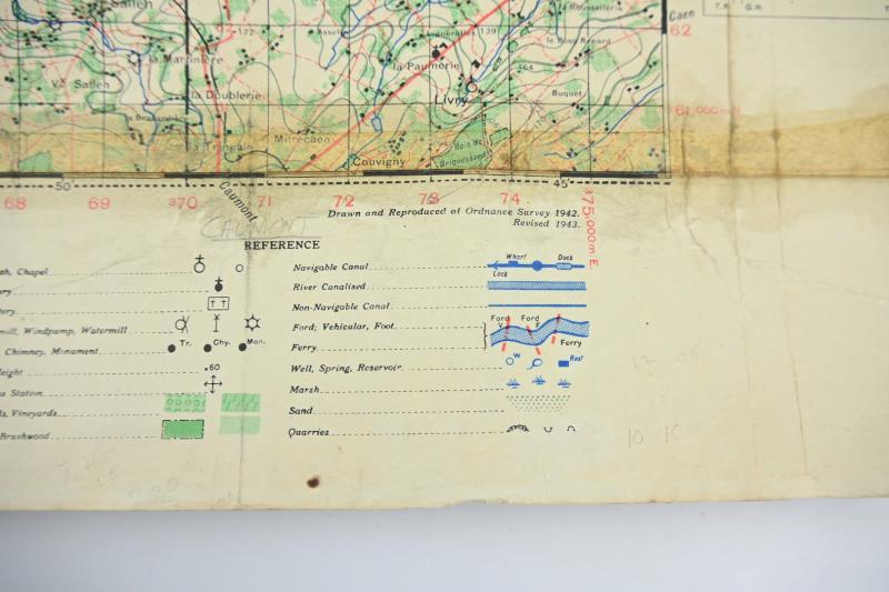
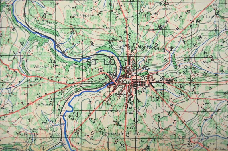
US WW2 Battlemap of St. Lo
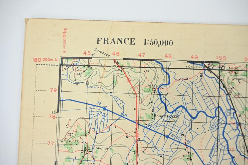
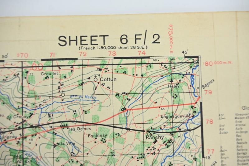
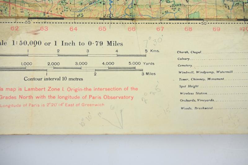
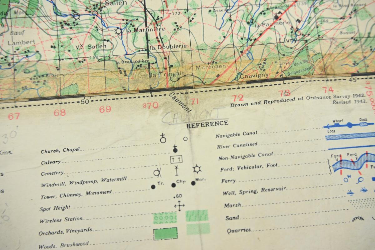
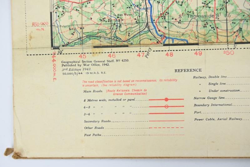
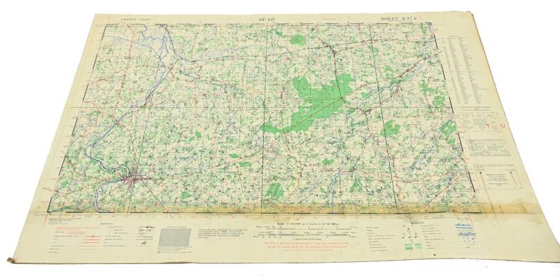
In a very good condition a stunning US WW2 Roadmap entitled 'St Lo', France, 1:50,000 scale, Sheet 6F/2, 1943.
The map shows the area north, east and north-east of St Lo.
The map is printed in May 1944 and is the 3rd Revision as used during the Normandy Campaign.
The map comes in a size of 56x77cm and is preserved on a hardboard plate.
The map has traces of use and has also pencil marks original on it!
A very stunning mapcard as used during the battle of St. Lo.
Code: 81859
350.00 EUR